Drone Video Production: What Aerial Footage Actually Adds to Your Project
Drone Video Production: What Aerial Footage Actually Adds to Your Project
Drone footage has become one of the most overused and underused tools in video production simultaneously.
Overused because it gets added to projects where it adds nothing — a drone pass over a suburban office park, an aerial shot of a parking lot, an establishing shot from 400 feet that tells the viewer nothing they needed to know. Underused because the brands and properties that would genuinely benefit from aerial perspective often skip it to save budget, not realizing that the drone shot was the one element that would have made the whole video land differently.
The question isn't whether to use drone footage. The question is whether your specific project is one where aerial perspective reveals something meaningful — about scale, location, access, environment, or beauty — that ground-level production can't communicate. When the answer is yes, drone video is one of the highest-return investments in production. When the answer is no, it's a line item that doesn't earn its cost.
Here's how to tell the difference.
What Drone Footage Actually Does Well
Aerial video has a specific set of strengths that no other production technique replicates.
Scale. Some things are only comprehensible from above. A property with significant acreage, a marina full of boats, a construction project mid-build, a venue layout before an event — these subjects have a scale that ground-level cameras can suggest but never fully communicate. A single well-composed aerial shot can convey in three seconds what would take thirty seconds of ground coverage to approximate.
Location context. Where something is located is often as important as what it looks like. A restaurant on the waterfront, a retail center at a major interchange, a residential development adjacent to open space — the location is part of the value proposition, and aerial footage makes that location context immediate and visceral in a way that a map graphic or a street-level establishing shot never will.
Environmental beauty. Some locations are simply more compelling from above. Coastal properties, canyon developments, hillside estates, harbor facilities, agricultural operations — the natural environment around these subjects is often their greatest asset, and it's an asset that only becomes visible from altitude.
Access and infrastructure. For commercial real estate, industrial properties, and large facilities, aerial footage communicates access points, parking capacity, loading infrastructure, and site configuration in a single shot. This is functional information that investors and tenants need, and drone video delivers it more efficiently than any other format.
When Drone Footage Doesn't Add Value
The honest answer is that drone footage is the wrong tool for more projects than production companies typically admit.
For most standard interior commercial shoots — office environments, retail interiors, studio product work, interview-based corporate video — aerial coverage adds nothing. The story is inside the building, and altitude doesn't help tell it.
For urban properties in dense markets, the aerial perspective often shows competition, traffic, and visual clutter rather than the clean establishing shot the client imagined. A tight urban block looks like a tight urban block from above. Sometimes the best establishing shot is at street level.
For smaller residential listings in standard suburban neighborhoods, a drone pass adds cost and file size without adding emotional impact. The buyer isn't falling in love with the neighborhood from altitude — they're falling in love with the kitchen.
The right production team will tell you this before the shoot, not after. The question to ask any production company is: "Does this specific project genuinely benefit from aerial coverage, and why?" If the answer is "we include it in all our packages," that's not a production decision — it's a billing decision.
FAA Compliance and Why It Matters
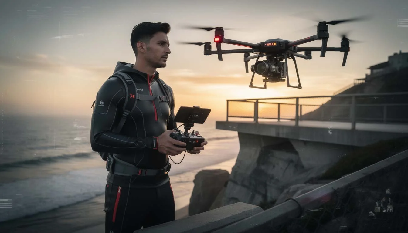
Commercial drone operations in the United States require FAA Part 107 certification. This is a written exam covering airspace regulations, weather interpretation, drone operation, and safety protocols. It is not difficult to obtain, but it is a legal requirement — and a meaningful portion of production companies operating drones commercially are doing so without it.
Beyond the legal liability, uncertified drone operation creates practical problems: no ability to file for airspace authorizations in controlled airspace, no insurance coverage for commercial drone operations, and no recourse if something goes wrong on a client project.
Our drone video production operations are fully FAA Part 107 certified. We file airspace authorizations when required, carry appropriate insurance, and operate within the regulatory framework that protects our clients and our crew.
In the Newport Beach and Orange County area, a significant percentage of desirable shoot locations fall within or near controlled airspace — John Wayne Airport's Class C airspace covers a substantial geographic footprint. Knowing how to operate legally and effectively within that environment is a local competency that matters.
Real Estate and Marine Applications in Orange County
The Orange County coastal market is one of the strongest use cases for drone video production anywhere in the country. Newport Beach, Corona del Mar, Laguna Beach, Newport Coast — the combination of coastal beauty, architectural quality, and high property values creates a market where aerial footage consistently earns its cost.
For real estate video production, drone coverage of waterfront and view properties is essentially standard. Buyers for properties at this price point expect to see the view, the water proximity, and the neighborhood context from the air before they schedule a showing.
For marine and yacht businesses, aerial perspective is uniquely powerful. The harbor, the open water, the boat in its environment — these subjects look their best from above, and the clients buying or chartering at this level expect marketing that reflects that quality.
For location tours and venue marketing, drone video establishes the full scope of a property in a way that makes ground-level coverage more meaningful — the viewer understands the layout before they're taken inside it.
What a Professional Drone Production Includes
A properly executed drone production day includes pre-flight site assessment, airspace authorization filing where required, a flight plan aligned with the creative shot list, multiple passes at different altitudes and angles to provide editing flexibility, and footage delivered in the appropriate format for integration with ground-level production.
Drone footage is rarely effective as a standalone product. The aerial shots need to cut with ground-level coverage to tell a complete story — the establishing aerial, then the ground-level detail. Productions that integrate drone and ground coverage seamlessly require a team that plans both together, not a drone operator hired separately from the main production crew.
We operate drone as an integrated component of full productions, not as an add-on from a different operator with different equipment standards and a different color profile. The aerial footage and ground footage are shot to match from the first frame.
Ready to Add Aerial to Your Next Production?
We're based in Newport Beach and produce drone video across Orange County and beyond. If you're planning a project where aerial coverage would genuinely strengthen the story, let's talk about what that looks like.
Ready to start your project? Let's talk.
📞 Call or Text: +1 (949) 449-4472 ✉️ Email: director@hilomotionpictures.com 📍 220 Newport Center Dr. #11-248 | Newport Beach, CA 92660 🕐 Mon–Fri 8am–5pm | Sat–Sun 9am–4pm